
Hillsboro Sources for Previous Residents
Previous residents are best traced by choosing a source that fits the era. Begin with the current situs, tax lot, and legal description, then identify the latest recorded transfer. The title trail can move backward through party indexes. Tax rolls, directories, newspapers, census records, maps, and permit files provide separate checks for a particular time. They do not form one continuous database, and a gap should remain a gap until another dated source supports it.
| Source | Years it covers | Where held | What it contributes |
|---|---|---|---|
| Deed books / direct-indirect indexes | 1850-1977 | Recording public-research area; State Archives and vault copies | Party chain, book/page, legal description, filing date |
| Book of Records images | 1979-present | Suite 130 public-research computers | Modern recorded-document research and image route |
| Land deed abstracts | About 1850-1940 | Washington County Museum Research Library & Archives | Historical title-company lead |
| Property-owner indexes | 1909-1960; 1971-1974; 1976 | Recording public-research area | Owner and tax-roll cross-check |
| Tax-roll microfiche | 1983-2011, plus selected earlier rolls | Local research and off-site holdings | Owner and tax-value snapshots |
| Hillsboro City Directory | 1959 onward, issue availability to confirm | Brookwood Library reference collection | Name, address, and rural-route evidence |
| Hillsboro Sanborn maps | 1884-1921 | Brookwood microfiche | Building and street context, not names |
Start in the newest confirmed era, then step back only when the next source can cover the date. This records inventory is the reason a Hillsboro address trail may move from a web map to a counter computer, microfilm, a library shelf, or an archive.
Hillsboro Address Records Before Names
A person’s name alone is weak starting material for a past-address question. Washington County InterMap accepts an address, Taxlot ID, or R number. After the map result appears, the Assessment & Taxation Information subreport can supply the property address, legal description, map number, account number, and the ownership and tax-mailing fields. The legal description is the durable connector between modern address terms, historic plats, and recorder entries.
Ownership and mailing data identify the party responsible for the tax statement. The address where that statement is sent can differ from the parcel situs. Record that distinction before adding someone to a Hillsboro previous-residents timeline. The InterMap property viewer is the current entry point; it does not provide a complete historical-owner report.
- Grantor
- The party transferring an interest in a recorded document.
- Grantee
- The party receiving an interest in that document.
- Chain of title
- The dated sequence of recorded transfers connected by parties and legal descriptions.
- Legal description
- Land-description language, such as lot, block, subdivision, or survey terms, used to tie records to the same parcel.
Note: An assessed owner or tax-mailing contact is a record role, not proof of a complete household at the situs.
Trace the Hillsboro Deed Chain Backward
Washington County’s deed indexes are designed around people and land descriptions, not a simple historical street lookup. Locate the present owner’s acquisition record first. Copy the grantor, grantee, filing or recording date, document number or book/page, and the legal description. The seller on that record becomes the next prior-grantee lead. Repeat the comparison while the legal description still matches. A transfer chain shows title events, so it should be kept separate from claims about every person who used the address.
- Capture the current Hillsboro situs, tax lot, R number, map/account reference, and legal description in InterMap.
- Use the current owner and legal description to identify the acquisition record through the Recording Office research route.
- Read the grantor and grantee roles, date, document placement, and legal description before adding the transfer to the log.
- Search the former owner as a prior grantee, then compare that older acquisition record to the same legal description.
- For the earlier period, shift from Book of Records access to direct and indirect deed-index microfilm and Deed Books.
The Recording Office copy and research page documents the local access channels.
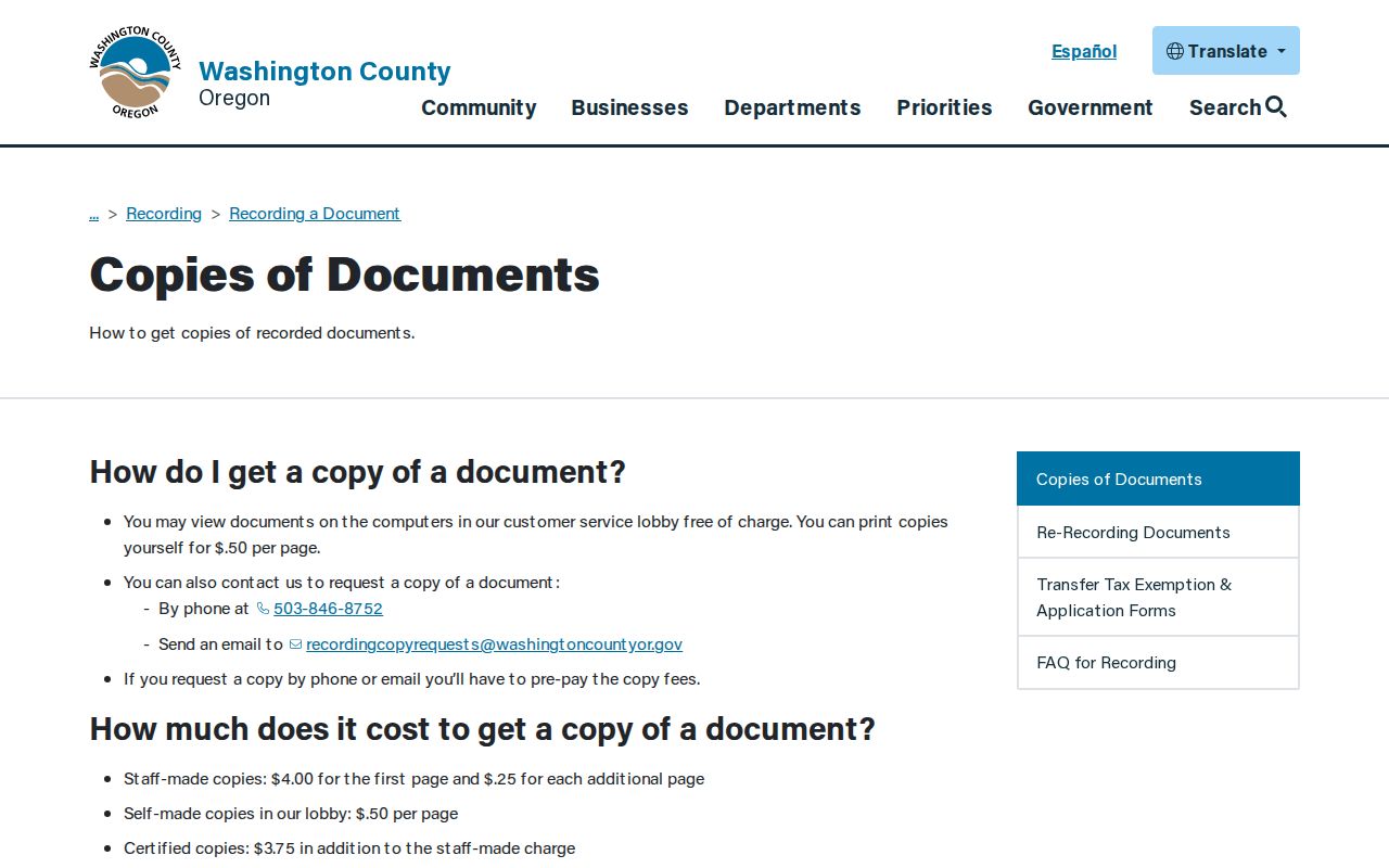
Free lobby computers offer a practical research stop. Self-printed copies cost 50 cents per page; staff copies cost $4 for the first page and 25 cents for each additional page, with $3.75 added for certification. Phone and email copy work requires prepayment.
Hillsboro Previous Residents by Records Era
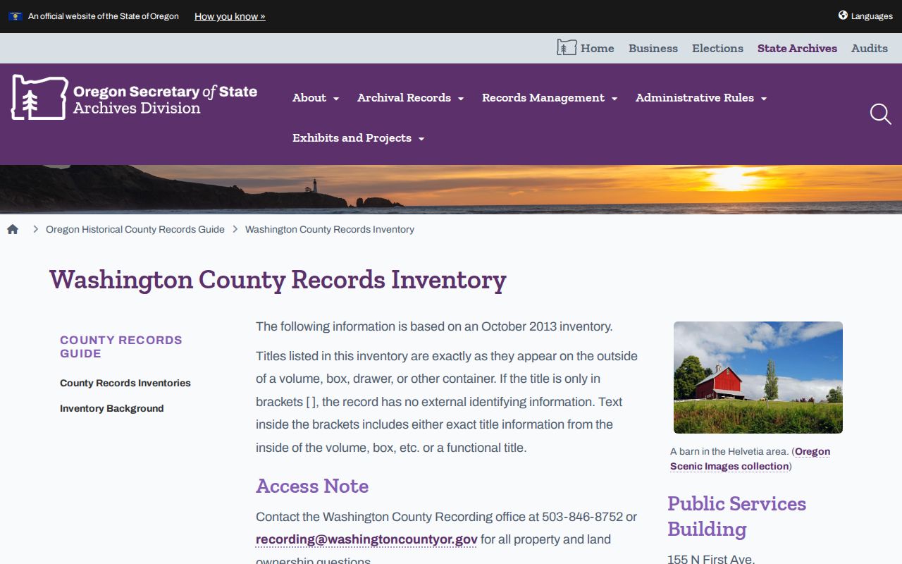
Washington County’s archive inventory creates a clear two-era research path. Direct and indirect deed indexes run from 1850 through 1977 on local microfilm. Searchable Book of Records images from 1979 forward are available on computers in the Suite 130 public-research area. The inventory also places Deed Books from 1850 through 1964 in the historical trail. The access seam matters because a result from one era may require a different medium rather than indicating that the transfer is gone.
The Oregon State Archives Washington County inventory identifies these holdings and the older tax-roll, probate, map, and archival paths.
For the intervals between deeds, property-owner index microfilm covers 1909-1960, 1971-1974, and 1976. Tax-roll material includes selected older rolls, 1983-2011 microfiche, online roll summaries from 2003, and online tax statements from 2009. Each source should be recorded with its own date and access location.
Brookwood and Hillsboro Past Residents
Brookwood Library supplies the household layer after the land trail has a date and address form. WCCLS lists the Hillsboro City Directory, published by Johnson Publishing Co., as a reference record beginning in 1959. Its catalog description identifies a classified business directory and rural-route directory. It does not confirm that every annual issue is held, so ask staff for the year needed and inspect that volume’s front matter and abbreviation key before interpreting an entry.
A name-first directory entry can yield an address for a selected year. A street or rural-route section, when present in that specific issue, can test the address context. That record belongs beside, not in place of, the legal description and deed date. The collection details are available through the Hillsboro city directories, while this address history keeps its focus on the backward trail.
Brookwood also holds Argus microfilm through March 2012 and Independent microfilm through 1931. The local obituary index covers early-1890s through 2018, but it is incomplete and normally provides a citation to the original newspaper rather than a full obituary. A citation can locate a dated notice; it cannot prove a continuous address history.
Pair Hillsboro Previous Residents With Dates
After a deed or directory establishes a time window, pair the closest directory year before or after a federal census with the census enumeration. The latest federal population census generally available for public research is 1950. A census is a household snapshot. A directory is an address-oriented publication with its own listing rules. The pair can support a dated household interpretation, but neither by itself proves that the same people remained at the address throughout the interval.
- Log the deed or tax-roll date and legal description that anchors the address.
- Find the closest Brookwood directory issue that is actually available and capture its printed date and address form.
- Compare the nearest public census and note the enumeration date, place, and household relationship context.
- Use an Argus or Independent notice, obituary citation, or historic tax roll only as another dated observation.
- Return to the recorder chain when a name or address variant appears, rather than assuming it represents the same parcel.
Hillsboro Sanborn maps from 1884 through 1921 help test whether a building, street pattern, or mapped use existed in the relevant period. They date physical context, not occupants. Brookwood’s maps should be combined with a tax lot or legal description before a modern number is treated as continuous.
Tuality Terms in Hillsboro Address History
Washington County began as Tuality District on July 5, 1843. Older catalog titles, census descriptions, and archival records can therefore use Tuality instead of Washington County. State Archives holds Tuality and Washington County census materials from 1845-46 and later county records. Search both labels where a catalog allows title or keyword searching. A rural route, plat, donation-land-claim reference, or old county label can be an address-history clue rather than an error.
This local history also explains why place research should preserve the original wording. Hillsboro’s growth and development mean a postal label, city boundary, tax lot, and legal description can answer different geographic questions. Compare historic plat or map evidence with the legal description instead of claiming an unverified citywide address-conversion rule.
Hillsboro Trail Endpoints and Gaps
A permit file can mark a construction or alteration date in an address story. Hillsboro Development Services asks requesters to identify a project or permit number, job-site address, date range, document type, and format. The first 30 minutes of staff research are free, then the published charge is $55 per hour. This is a date-and-document route, not a way to fill every gap in a property’s human history.
For a former owner who died, an Oregon Historical Records Index estate result or Circuit Court probate lead can help locate a dated estate record. Washington County estate records in the index cover 1842-1921, and some files or portions may be restricted. The State Archives vital-record holdings guide is an additional historical route, while Oregon Health Authority certificates remain subject to eligibility and access rules.
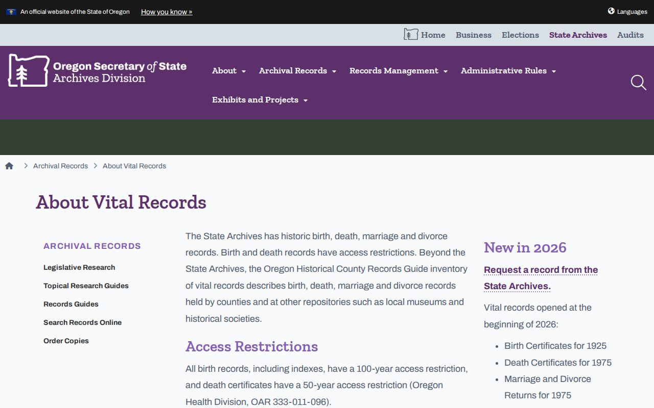
The archive image represents a finding aid, not a substitute for an eligible certificate request or a complete personal history. Use the original custodian and the date-specific record type to confirm any endpoint.
Lawful use. Use Hillsboro past-resident research for family or property history and respect protected records. Never use an address trail to stalk, harass, or harm a living person.