
Hillsboro ZIP Code Delivery Areas
Only two ZIP codes are verified here as Hillsboro mailing geography: 97123 and 97124. They are USPS delivery zones, not a complete municipal map. The first is associated with central and southern Hillsboro, including many downtown and county-seat addresses. The second serves northern, eastern, and northwestern Hillsboro delivery areas and also reaches adjoining County territory. The Hillsboro ZIP code directory does not add nearby zones merely because they touch the metro area. A full-address USPS result is the evidence needed before treating a nearby delivery zone as relevant.
| ZIP | Hillsboro delivery area | Post office | Record-use note |
|---|---|---|---|
| 97123 | Central and southern Hillsboro delivery geography, including many downtown and county-seat addresses | Hillsboro | Postal zone only. Verify the full address before selecting a custodian. |
| 97124 | Northern, eastern, and northwestern Hillsboro delivery geography, plus adjoining County area | Hillsboro | May extend outside City limits. Check municipality and tax lot separately. |
Zones such as 97006, 97129, 97003, and 97116 are nearby, but the research did not verify a Hillsboro City address in each. They are not included as Hillsboro coverage. This narrow table is more useful than a broad list that mistakes postal proximity for City jurisdiction.
Verify a Hillsboro ZIP Code
Use the full street address in the official USPS tool before looking for a parcel, permit, or other local record. It confirms the delivery ZIP for that address. It does not decide whether the address lies inside Hillsboro, which county office has a record, or who is connected to the address. Keep the exact delivery result with the address spelling, especially near the City edge where postal and municipal labels can differ.
The USPS full-address ZIP Code Lookup is the delivery check used for this first step.
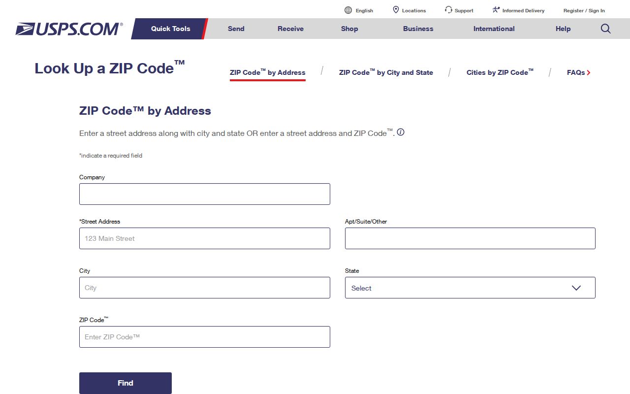
Once USPS returns a five-digit ZIP, the address can move to the County’s parcel and jurisdiction tools without treating the postal result as a property record.
Hillsboro ZIP Code Search Sequence
A ZIP is a starting filter, not a resident list. The verified route uses the delivery address first, then an address-specific County record, then the right specialized channel if the question concerns a credential or a regulated elector-list request. No researched Washington County property tool provides a ZIP-wide parcel search. InterMap is documented for address, tax-lot ID, and R number. Survey Explorer offers a City filter, but no documented ZIP filter. That means a ZIP cannot replace the street address and parcel identifiers.
- Enter the complete current address in USPS ZIP Code Lookup and retain the five-digit delivery result.
- Enter that same address in InterMap, then record the situs, tax lot, R number, legal description, and map or account details.
- Use a City or County boundary source, rather than the ZIP label, to select the municipal or County custodian.
- For an older address, compare Survey Explorer, plats, Sanborn maps, or tax maps while carrying the legal description forward.
After a ZIP has narrowed the mailing question, the Hillsboro By Street directory provides the fuller address-to-parcel workflow.
Hillsboro ZIP Code Property Paths
InterMap is the practical bridge from a verified address to Washington County assessment material. Its published lookup modes are address, tax-lot ID, and R number. After a result, the Assessment & Taxation Information subreport can lead to property, sales/deed, value, and improvement categories. This is a parcel-focused research path. It does not have a documented owner-name-only, ZIP-wide, or broad resident-search form.
A Washington County GIS gateway provides the County entry points for InterMap and Survey Explorer.
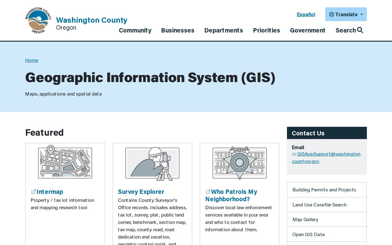
The GIS route matters after delivery verification because a tax lot and legal description remain useful even when a postal label, street number, or City boundary changes.
Assessment data also distinguishes the physical situs from the tax mailing address. The mailing field identifies where the statement goes and can be outside the area. It is not proof that every person connected with that mailing address is at the Hillsboro situs.
This is a useful local myth to avoid: a Hillsboro postal label and an out-of-area tax mailing address can both appear around the same parcel without contradicting each other. They answer different questions. Preserve the situs, tax lot, legal description, and mailing field separately in a research note. The legal description is the durable bridge when a current address must be compared with an older deed, plat, or map.
Hillsboro ZIP Code Location Filters
Some official systems accept a ZIP, but their results have narrow meanings. The Oregon Medical Board’s search can use name, license or registration number, or specialty with City or five-digit ZIP and distance. It checks public credential information, not property ownership or a Hillsboro household. Oregon UCC also offers a custom information request that can use up to five debtor cities or ZIP codes for a $50 fee. That is a filing and secured-party output, not part of a ZIP code directory of residents.
| Official service | ZIP-related field | What the result can establish |
|---|---|---|
| Oregon Medical Board | City or five-digit ZIP with distance, when using specialty search | Public license, status, discipline, and malpractice information within the Board’s scope |
| Oregon UCC custom request | Up to five debtor cities or ZIP codes | UCC filing information, subject to its request rules and limits |
The Oregon Medical Board search shows the credential-oriented ZIP filter described here.
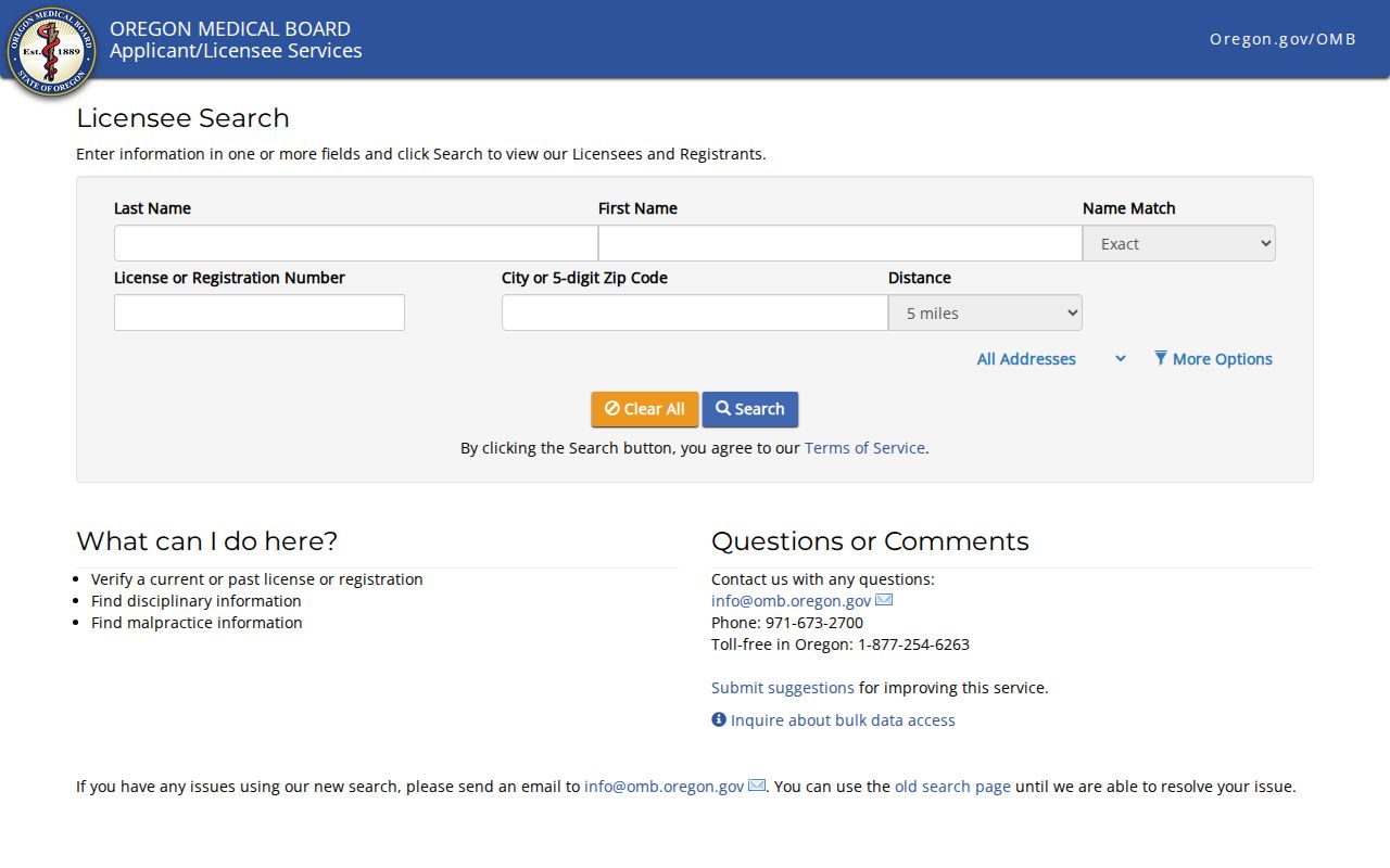
The image is a reminder to read the portal’s stated purpose before drawing a conclusion from a ZIP-filtered result.
Hillsboro ZIP Code Voter Routes
Oregon’s voter channels are controlled by election law, not by an open ZIP browse tool. Oregon My Vote is a registration-status service for an elector’s own interaction. For a lawful official list request, the Secretary of State provides electronic statewide or smaller-than-statewide requests through SFTP. The stated statewide fee is $500. A smaller request is $25 setup plus 2.5 cents per 100 records, with a stated 10-business-day allowance. Printed, label, or other non-electronic smaller requests go to the county elections official where voters reside.
The Oregon voter-list request page describes the electronic request route, fees, and delivery method.
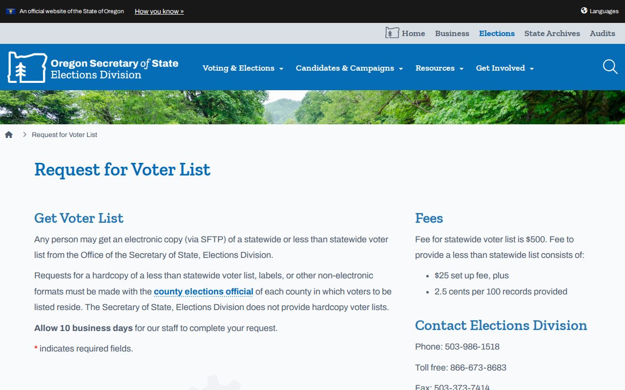
A geographic request remains subject to what the Elections system can produce and to statutory exclusions. It is not an address-by-address public roster.
Washington County Elections administers local registration records and is the local path for the non-electronic formats described by the State.
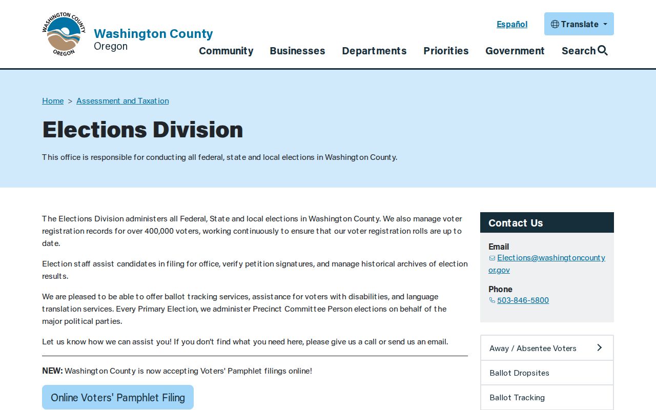
County Elections also keeps historic election-result materials, but the availability of a historic record does not make it a current postal directory.
The Oregon elector-list statutes contain ORS 247.945 and ORS 247.948, the provisions that define the public and nonpublic split.
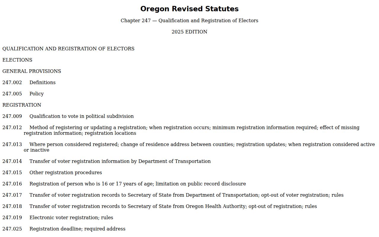
Address Confidentiality Program participants and other protected fields are excluded, so an absence can be a lawful privacy result rather than a failed search.
Oregon My Vote should remain separate from the request route. The research confirms it as a registration-status interaction, but did not capture a full public field inventory for the live form. Do not infer fields or use a non-match to claim that someone was never registered. Spelling changes, moves, inactive or cancelled status, and protected records can all affect what a service displays.
Historic Hillsboro ZIP Code Geography
Older Hillsboro addresses often need a map-and-parcel trail rather than a present-day ZIP. Survey Explorer searches survey, plat, tax-lot, road, and donation-land-claim records. A plat records lot, block, and subdivision geometry. That context can bridge a current address to an older legal description. For building and street context, Brookwood Library holds Hillsboro Sanborn map microfiche for 1884 through 1921. Historic tax maps, county road records, and the recorder’s legal descriptions can then test whether two street labels refer to the same place.
Hillsboro’s growth makes this more than a historical detail. Postal zones, City limits, tax lots, and legal descriptions answer different questions. The interest in precise geography is practical: keep the lot, block, or legal description in a research log instead of assuming that a familiar modern street name has always meant the same parcel.
Historic materials use several access channels. Brookwood’s local-history collection supplies Sanborn microfiche, newspaper microfilm, and other research aids. County Recording has the party and legal-description trail, while Survey Explorer supplies plat and road context. The County archive inventory notes older physical indexes and map holdings. The right repository depends on the date and record type, not on the current ZIP alone.
Note: No verified citywide postal-boundary file or exhaustive City ZIP map was found in the research, so full-address verification remains necessary.
Hillsboro ZIP Code Boundary Limits
A Hillsboro ZIP code is not a City border, an assessor-map area, a voting precinct, or proof of municipal residence. A 97124 label can reach beyond Hillsboro City limits. Government custody follows situs and jurisdiction, while USPS answers the delivery question. The same caution applies to an owner’s mailing address on a tax statement. A tax bill may travel elsewhere even though the parcel itself is in Hillsboro. Use the ZIP code directory to begin the right search, then let the parcel and custodian records answer the more specific question.
- ZIP and ZIP+4
- A five-digit ZIP identifies a delivery zone. The added four digits direct mail to a smaller delivery segment and do not define jurisdiction.
- PO box ZIP
- A ZIP assigned for post-office-box delivery. It is a mail-routing identifier, not evidence of a physical property location.
- Unique ZIP
- A ZIP used for a single organization or major recipient. No verified unique Hillsboro ZIP is asserted here.
- Carrier route
- A postal delivery route within a ZIP area. It is not a parcel boundary or a public resident list.
For a record request, state the full address, date range, parcel or project identifier when known, and the record type. Oregon Public Records Law, ORS 192.311-192.478, provides a request route for nonexempt City or County administrative records when no online path exists.